DHSC Team Bio: PhD Candidate Louise Brooke

My archaeology journey started in 2020, covid lock-down, looking to explore something I was passionate about: archaeology, history and my love for the sea. I grew up in Adelaide always spending time across our beautiful coastline and was surprised to find out that Flinders University had a maritime archaeology program. I signed up straight away. At this point I had no idea what submerged landscape archaeology was, but I read the DHSC 2020 article in PLOS ONE for a class and was instantly hooked. I met with Professor Jonathan Benjamin straight away and asked, “What do I need to do, to be able to work in this field?” He told me, and I got to work.
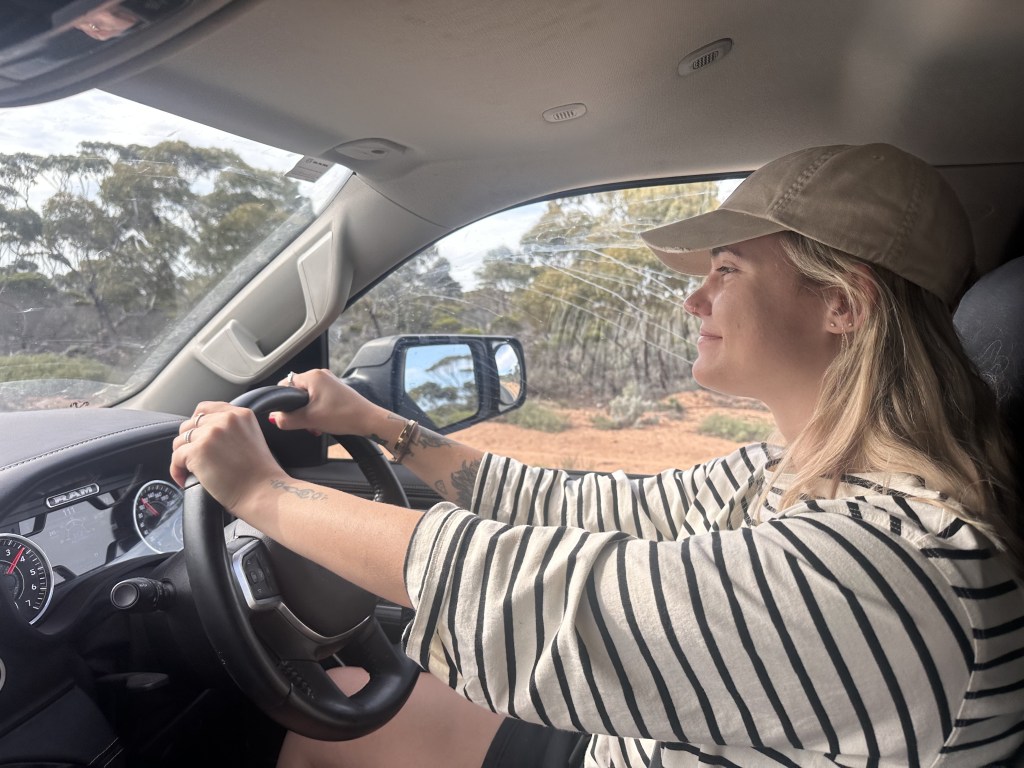
Fast forward to 2023, I joined the DHSC project team for my MA thesis project which focused on contextualising the onshore and offshore environment of Withnell Bay, Murujuga (supervised by Dr John McCarthy). I spent my time surveying the northern intertidal landscape looking for cultural sites, the other half was spent diving and developing my skills as a scientific diver. I have returned to Murujuga every year since my masters and have been fortunate to have dived across the archipelago. Throughout my time with the DHSC project, I have been under the mentorship of Professor Jonathan Benjamin, Associate Professor Mick O’Leary, Hiro Yoshida (our incredible Tech Officer and Dive Instructor) and Dr Chelsea Wiseman who have all helped me build my skills across various disciplines, whether it is submerged archaeological sites and preservation, geomorphology and sea-level rise or the technical aspects of scientific diving.
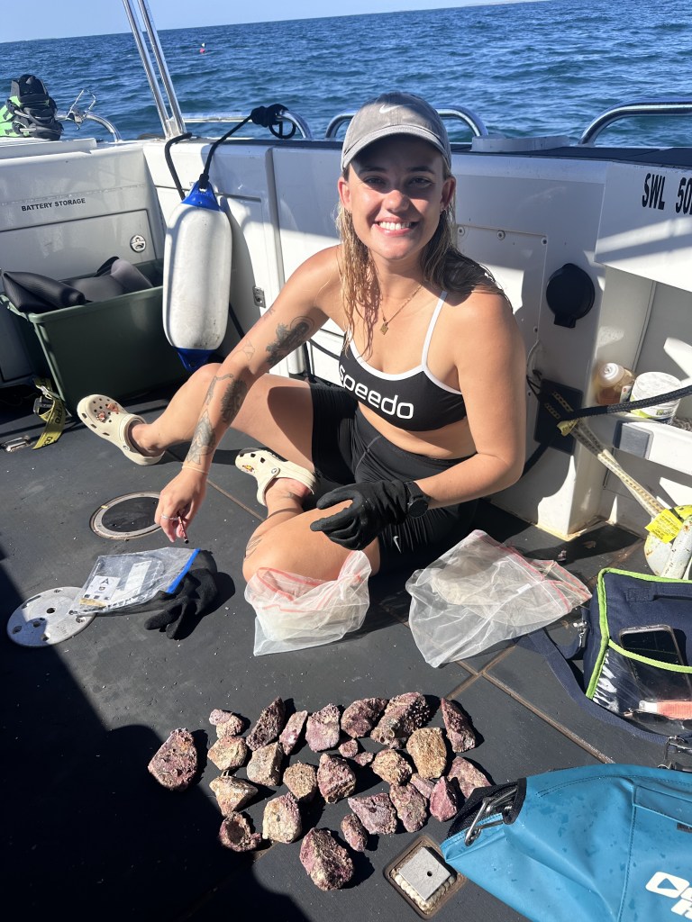
In 2025, I commenced by PhD project that explores a comparative analysis between the well-studied cultural landscape of Murujuga and a previously unrecorded coastal peninsula of Mabaluk in the Northern Territory. The two areas represent contrasting environmental and hydrological landscapes across the tropical North West Shelf of Australia. I aim to understand the nature, use and antiquity of coastal and marine Aboriginal archaeological features and provide regional adaptations to a methodological framework through use of remote sensing and coastal survey.

I have been fortunate enough to spend the last four years diving on incredible sites across Murujuga Sea Country and have built valuable skills for my professional career. Most recently, working closely with Murujuga Aboriginal Corporation Rangers on the published 2026 QSR paper.
First Inventors TV Series Showcases DHSC

The DHSC project team were proud to be a part of the new documentary series that airs nationally on Channel Ten and NITV.

The show is also available to stream online!

Tune in to Episode two on 10-Play or SBS On Demand to watch on demand:

https://10play.com.au/the-first-inventors/episodes/season-1/episode-2/tpv230620kpgst

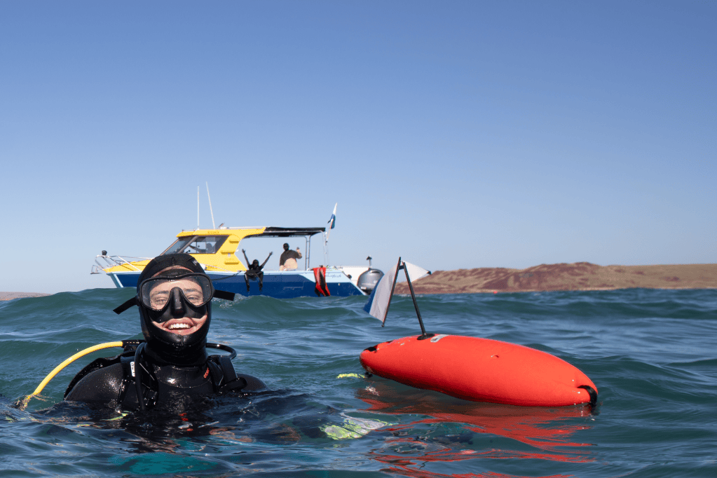
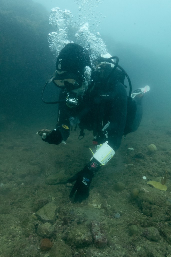
DHSC Divers during the filming of the First Inventors TV series

New approaches for assessing site formation of submerged lithic scatters

A new article has been published by the DHSC team, led by CI Mick O’Leary.

https://www.sciencedirect.com/science/article/abs/pii/S2352409X23002213?dgcid=coauthor

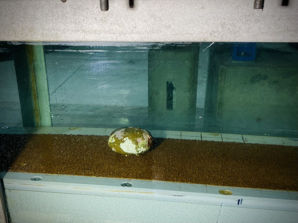
This study investigates the hydrodynamic processes that affect site formation of a submerged lithic scatter located at Cape Bruguieres Channel (CBC) in the NW of Western Australia through a combination of in situ, experimental and modelling approaches. A pressure sensor and current meter were deployed on the site and recorded hydrodynamic data over a three month period with maximum current speeds of 0.55 m/s recorded during spring tides. To test the potential for artefacts to be transported away from their original depositional context, a representative selection of submerged archaeological artefacts collected from the site and natural stone were subjected to a range of current speeds within a controlled flume environment. This demonstrated that all artefacts and natural stone remained stable within the flume even when experiencing current speeds approaching the maximum current velocities recorded at the site, regardless of lithic orientation relative to the current direction. In addition it was seen that mass alone did not control the hydrodynamic stability of the lithics tested, rather the hydrodynamic properties of a lithic are highly dependent on both its shape and orientation relative to current flow direction. This is a significant finding and suggests that the smaller the mass of a lithic does not necessarily correspond with preferential transport by currents caused by tides or waves. To test the potential for lithics to be transported during extreme cyclone events, a fine 30 m resolution bathymetric grid was constructed for CBC and current speeds modelled for Tropical Cyclone (TC) Damien which crossed the archipelago as a Category 3 (severe tropical cyclone) in February 2020. Modelled currents during this event reached a maximum velocity of 0.8 m/s and would be capable of transporting the smallest mass lithic but only if it was orientated in its most hydrodynamically unstable position relative to the current direction. These results suggest the Cape Bruguieres lithic scatter site has effectively remained in situ following sea level inundation at approximately 7,000 years BP.

Current events! Submerged cultural material tested in the UWA Oceans Institute flume

UWA-based researcher and DHSC CI Dr Mick O’Leary has been busy testing our hypothesis that the stone tools located on the seabed of Murujuga Sea Country remain relatively stable over time, despite strong tidal currents in the archipelago.

Observations by DHSC scientific divers led to our appraisal of stability on the seabed. A series of artefacts were tested at various orientations under different current velocities to see if they would remain in situ or would be subject to transportation under high velocity current flow.

Stay tuned for more scientific data and analysis in the coming months while we prepare this exciting information for publication!

A multi-scalar approach to marine survey and underwater archaeological site prospection in Murujuga, Western Australia

Article published in Quaternary International

ABSTRACT

During the past 20,000 years approximately one-quarter of the continental landmass of Australia was inundated by postglacial sea-level rise, submerging archaeological evidence for use of these landscapes. Underwater archaeological sites can offer substantial insights into past lifeways and adaptations to rapidly changing environments, however the vast scale of inundation presents a range of challenges in discovering such sites. Here we present a suite of methods as a model methodology for locating sites in submerged landscapes. Priority areas for survey were based on palaeoenvironmental contexts determined from the onshore archaeological record. Remote sensing was used to identify seabed composition and indicators of palaeolandscapes where high potential for human occupation and site preservation could be identified in Murujuga (or the Dampier Archipelago), northwestern Australia. Target locations were surveyed by scientific divers to test for the presence of archaeological material. Application of this methodology resulted in the discovery of the first two confirmed sub-tidal ancient Aboriginal archaeological sites on Australia’s continental shelf. Survey methods are discussed for their combined value to identify different classes of landscapes and archaeological features to support future underwater site prospection.

New article by Wiseman et al. published in Quaternary International (Photo: S. Wright)

Link to the article: https://www.sciencedirect.com/science/article/abs/pii/S1040618220305383?via%3Dihub