Stone artefacts on the seabed at a submerged freshwater spring confirm a drowned cultural landscape in Murujuga, Western Australia

Our new article, published open access in the international, peer-reviewed journal Quaternary Science Reviews, is now available online:

https://www.sciencedirect.com/science/article/pii/S027737912300238X
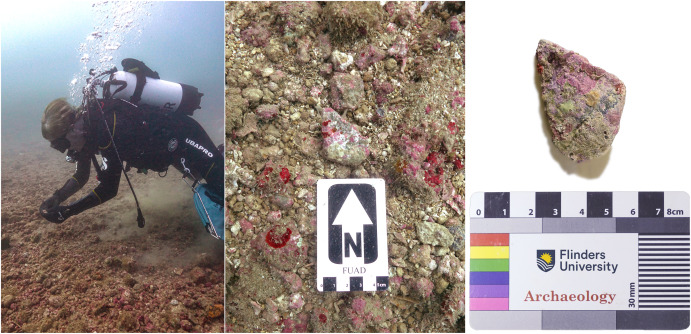
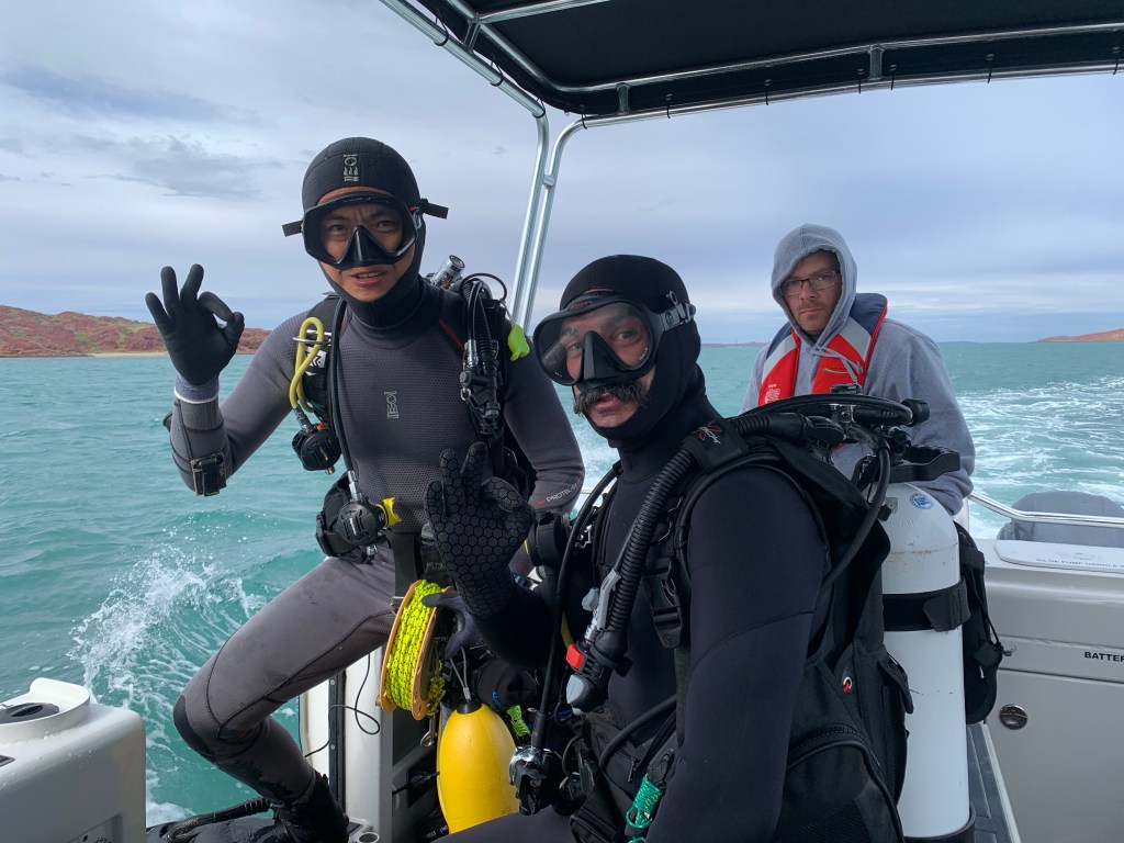
Archaeologist and Scientific Diver, Professor Peter Veth examines artefacts on the seabed (Photos: J. Benjamin)

We report the discovery and identification of five ancient stone artefacts associated with a submerged freshwater spring at the underwater archaeological site WH1 in Murujuga (Dampier Archipelago), Western Australia. A limiting date applied to the site based on timing of inundation suggests it was occupied in the Late Pleistocene or Early Holocene. The site is situated well below the intertidal zone having been recorded at 14 m depth in Flying Foam Passage. This discovery highlights the high potential of these submerged springs as archaeological survey targets. We discuss results of a recent survey that expands the number of confirmed artefacts located at WH1 and the geomorphological context in a large calcareous depression associated with a freshwater source. This study demonstrates how submerged landscape research using a suite of technologies can reveal archaeological assemblages in this tropical geomorphological environment, and that adapted techniques could be applied to other tropical conditions such as mangrove coasts, large deltaic plains, or reef-building environments. There are likely thousands of drowned archaeological sites on the continental shelf of the tropics, extending from the intertidal zone to the lowest point of the culturally occupied landmass, at approximately 130 m below modern sea level.

New approaches for assessing site formation of submerged lithic scatters

A new article has been published by the DHSC team, led by CI Mick O’Leary.

https://www.sciencedirect.com/science/article/abs/pii/S2352409X23002213?dgcid=coauthor

This study investigates the hydrodynamic processes that affect site formation of a submerged lithic scatter located at Cape Bruguieres Channel (CBC) in the NW of Western Australia through a combination of in situ, experimental and modelling approaches. A pressure sensor and current meter were deployed on the site and recorded hydrodynamic data over a three month period with maximum current speeds of 0.55 m/s recorded during spring tides. To test the potential for artefacts to be transported away from their original depositional context, a representative selection of submerged archaeological artefacts collected from the site and natural stone were subjected to a range of current speeds within a controlled flume environment. This demonstrated that all artefacts and natural stone remained stable within the flume even when experiencing current speeds approaching the maximum current velocities recorded at the site, regardless of lithic orientation relative to the current direction. In addition it was seen that mass alone did not control the hydrodynamic stability of the lithics tested, rather the hydrodynamic properties of a lithic are highly dependent on both its shape and orientation relative to current flow direction. This is a significant finding and suggests that the smaller the mass of a lithic does not necessarily correspond with preferential transport by currents caused by tides or waves. To test the potential for lithics to be transported during extreme cyclone events, a fine 30 m resolution bathymetric grid was constructed for CBC and current speeds modelled for Tropical Cyclone (TC) Damien which crossed the archipelago as a Category 3 (severe tropical cyclone) in February 2020. Modelled currents during this event reached a maximum velocity of 0.8 m/s and would be capable of transporting the smallest mass lithic but only if it was orientated in its most hydrodynamically unstable position relative to the current direction. These results suggest the Cape Bruguieres lithic scatter site has effectively remained in situ following sea level inundation at approximately 7,000 years BP.

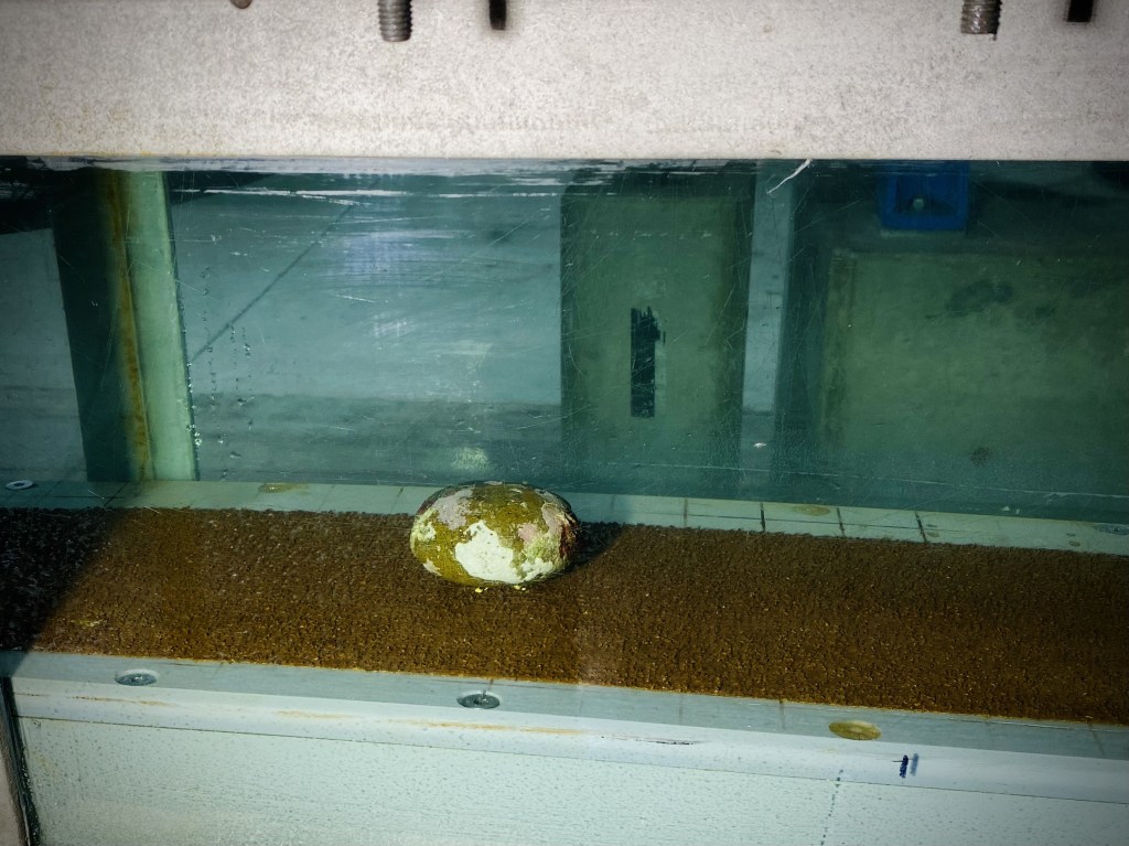
Current events! Submerged cultural material tested in the UWA Oceans Institute flume

UWA-based researcher and DHSC CI Dr Mick O’Leary has been busy testing our hypothesis that the stone tools located on the seabed of Murujuga Sea Country remain relatively stable over time, despite strong tidal currents in the archipelago.

Observations by DHSC scientific divers led to our appraisal of stability on the seabed. A series of artefacts were tested at various orientations under different current velocities to see if they would remain in situ or would be subject to transportation under high velocity current flow.

Stay tuned for more scientific data and analysis in the coming months while we prepare this exciting information for publication!

Back in the field: DHSC 2022

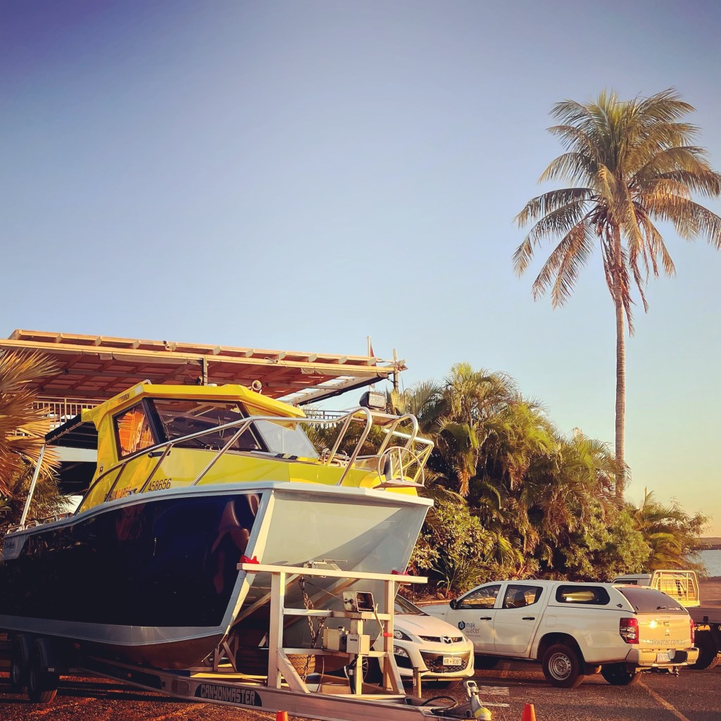
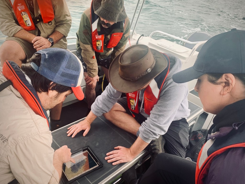
The Deep History of Sea Country Project Team was once again back in the field for June 2022, with familiar faces and new postgraduate student team members undertaking scientific diving on Murujuga Sea Country. This year diving from the new Flinders Maritime Archaeology Research Vessel (RV) Bungaree.

Stay tuned for more project team member blogs, and some exciting new material in forthcoming publications later this year (and a fun surprise we can’t yet disclose coming in early 2023).