A new article has been published by the DHSC team, led by CI Mick O’Leary.
https://www.sciencedirect.com/science/article/abs/pii/S2352409X23002213?dgcid=coauthor

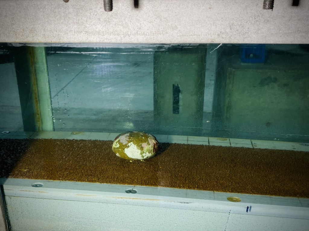
This study investigates the hydrodynamic processes that affect site formation of a submerged lithic scatter located at Cape Bruguieres Channel (CBC) in the NW of Western Australia through a combination of in situ, experimental and modelling approaches. A pressure sensor and current meter were deployed on the site and recorded hydrodynamic data over a three month period with maximum current speeds of 0.55 m/s recorded during spring tides. To test the potential for artefacts to be transported away from their original depositional context, a representative selection of submerged archaeological artefacts collected from the site and natural stone were subjected to a range of current speeds within a controlled flume environment. This demonstrated that all artefacts and natural stone remained stable within the flume even when experiencing current speeds approaching the maximum current velocities recorded at the site, regardless of lithic orientation relative to the current direction. In addition it was seen that mass alone did not control the hydrodynamic stability of the lithics tested, rather the hydrodynamic properties of a lithic are highly dependent on both its shape and orientation relative to current flow direction. This is a significant finding and suggests that the smaller the mass of a lithic does not necessarily correspond with preferential transport by currents caused by tides or waves. To test the potential for lithics to be transported during extreme cyclone events, a fine 30 m resolution bathymetric grid was constructed for CBC and current speeds modelled for Tropical Cyclone (TC) Damien which crossed the archipelago as a Category 3 (severe tropical cyclone) in February 2020. Modelled currents during this event reached a maximum velocity of 0.8 m/s and would be capable of transporting the smallest mass lithic but only if it was orientated in its most hydrodynamically unstable position relative to the current direction. These results suggest the Cape Bruguieres lithic scatter site has effectively remained in situ following sea level inundation at approximately 7,000 years BP.