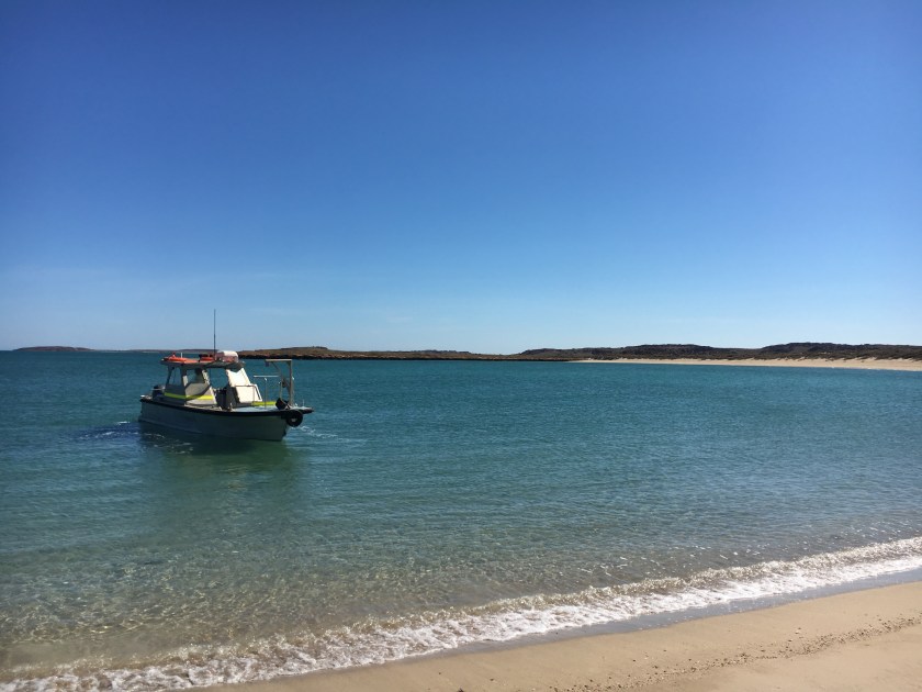
Last year our survey team took to the sea aboard the small work boat DAN K (operated by Aust Marine out of Dampier, WA). The team consisted of DHSC staff and research students, based in Adelaide, Perth and overseas. The purpose of the surveys were to complement the data we gathered through bathymetric lidar with sidescan sonar data and identify priority areas for diver survey. The team continued to update the local community Members via the Murujuga Aboriginal Corporation (MAC), who have been involved and updated of our on-going project since the onset.
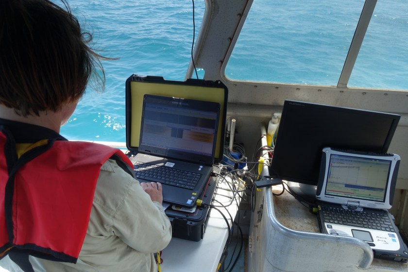
Sidescan sonar survey allows us to record significant areas of the seabed and view the submarine environment through high-resolution acoustic images. This is important to locate areas of the Dampier Archipelago where submerged cultural material is likely to have preserved so we could characterise the seabed and see what the bottom is made of and what is sitting on the seabed. This will help our divers to select locations to survey later in the project.
Working at sea
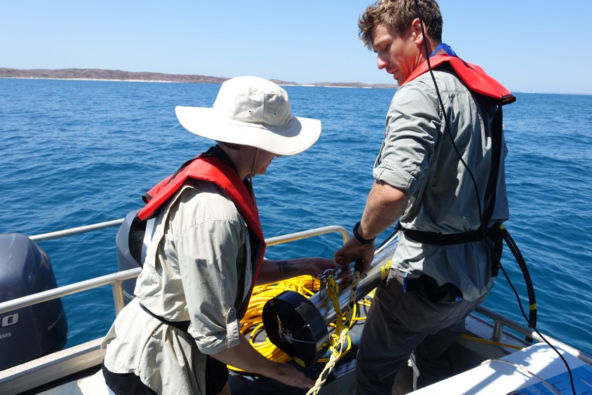
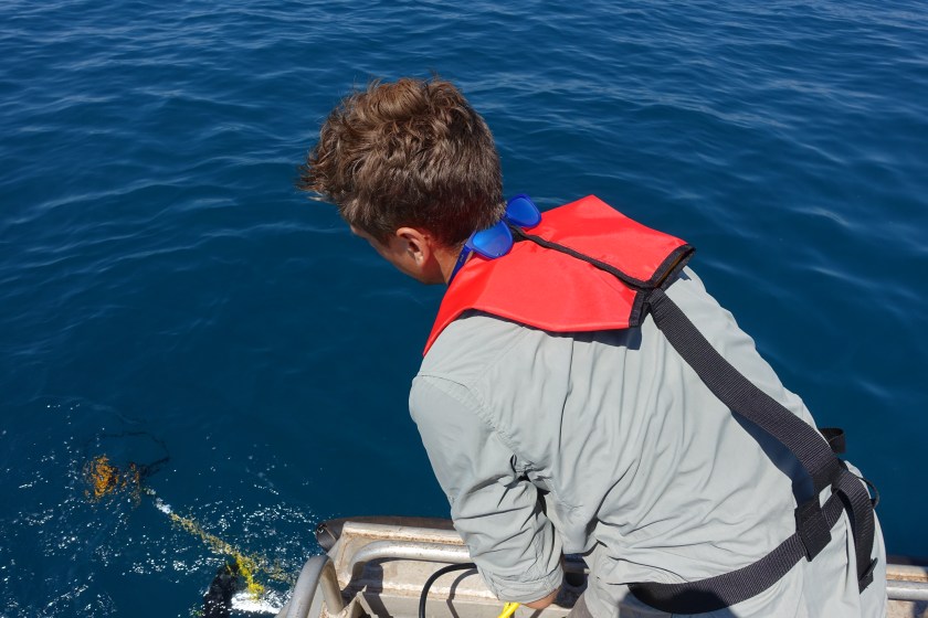
Sidescan data collection can be slow going, and is not without its complexities. We need good sea conditions, good weather and the right wind, and good operators. All of the data has to be logged, organised and eventually processed. We had a few false starts early in the year, with technical issues, power problems, and of course bad weather. It took three tries to get it right. But then it all came together.
 Our third attempt was the winner. We had 9 consecutive days of calm, beautiful weather last September/October. In that amount of time we could map as many places as we could possibly get to, working 12 hour days at sea, running survey lines back and forth in neat polygons. Hats off to the full time professional marine surveyors who do this for their living year round. They have a seriously challenging job!
We were lucky to have a couple of project team members with such experience and capacity. Francis Stankiewicz, who has previously posted about the Danish component of the project, and Dr Paul Baggaley (Adjunct Lecturer in Maritime Archaeology at Flinders University, and CTO of Wessex Archaeology in the UK). Thanks to a real combined team effort, a bit of luck with the weather, and our hard working crew, we got the data we needed at the survey sites we wanted.
We have now processed the geophysical data and selected target areas for further investigation. The integration of several remote sensing datasets helps to refine our survey strategy, and better understand the submerged environment of the Dampier Archipelago.
