DHSC Student Participants: Emma Beckett and Patrick Morrison
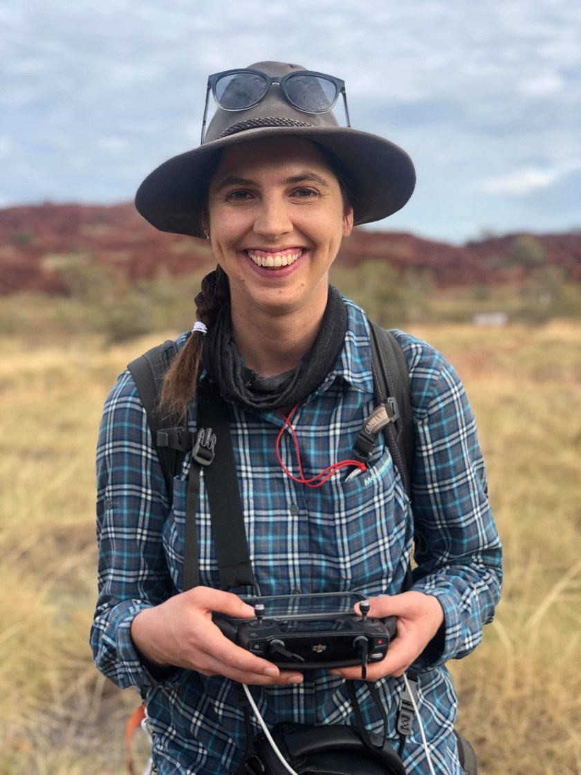
Emma Beckett is a PhD student from the Centre for Rock Art Research and Management (CRAR+M) at the University of Western Australia. Her dissertation has been part of the Murujuga: Dynamics of the Dreaming Project directed DHSC CI, Professor Jo McDonald at the University of Western Australia. Emma has also been a student participant in the DHSC project, conducting coastal surveys and flying several drone missions.
In her own words: My research focuses on providing a better understanding of the nature and placement of stone arrangements across the Archipelago. These arrangements come in a wide range of forms adding to an already impressive archaeological landscape and include: standing stones, elongated stones placed upright like spines across the boulder slopes; depressions formed in the rocky hills with stones placed around a central pit and stacks of stones in piles, circles and lines. These stacks are found in a range of environmental contexts across level platforms, hillslopes and within the intertidal zone. These structures represent a range of human activities including the construction of shelter for domestic use and hunting hides, to more easily catch game, establishment of markers likely used for signalling between and within groups as well as the creation of stone arrangements as part of spiritual or religious activities or rituals.
I was delighted to be involved on the most recent Deep History of Sea Country (DHSC) fieldwork in May 2019. I was involved with the recording of coastal terrestrial archaeology so that the team might be better able to understand how this can be identified underwater.
As a GIS specialist, I was heavily involved in the collection and management of the spatial data for this part of the project. I collected aerial imagery from a number of sites using my drone. This processed imagery can be used for the creation of high resolution ortho-imagery and 3D landscape reconstruction.
 Drone Image of Enderby Island with DHSC Boat
Being involved in the DHSC fieldwork was really helpful for my own research. I was able to visit and record a number of structures within intertidal areas that I had not been able to access previously. And working with the DHSC team help me gain more experience in understanding coastal landscapes as the various CI’s generously provided expertise, support and resources. Having spent much of the last ten years working in inland arid landscapes, the knowledge shared during the course of this project was invaluable to me.
 Submerged stone structure within intertidal zone
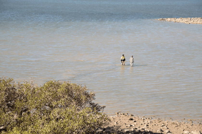
This has also been important for helping me further explore the ways in which structures might have played a role for humans as the landscape changed from an inland to a coastal environment. Echoes of the inundation which changed the environment over thousands of years can be imagined even while watching the sometimes dramatic tidal range exhibited in these areas today. Watching the tide swallow up a gently sloping muddy beach in the course of a few hours one can’t help but imagine how people would have reacted as their hunting and foraging range slowly contracted, never to re-emerge.
Thanks to everyone involved in the fieldwork for such a great trip! I am looking forward to further collaboration with the DHSC team in the near future.
Patrick Morrison is midway through his honours project at UWA. He is writing on a stone artefact scatter, found in the intertidal zone of Dolphin Island in Murujuga (the Dampier Archipelago). This site possibly represents evidence for a submerged landscape, inundated by sea-level rise in the Early Holocene and we suspect that this is one of many similar sites in the Archipelago.
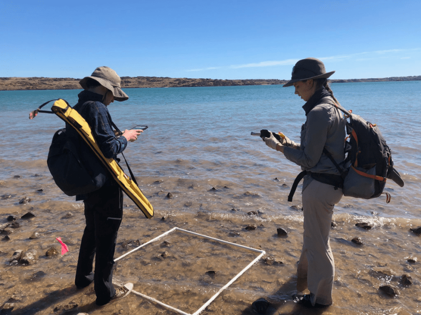 Patrick and Emma recording stone tools in the intertidal zone
In his own words: I started formal archaeological training in 2016, after an interesting broadening unit added an Archaeology major to my Neuroscience degree. In that unit, we were introduced to the idea that a third of the Australian continent was inundated by rising seas since the Last Glacial Maximum (around 22 thousand years ago). The implication is profound as some of the most significant archaeological landscapes in Australia remain almost completely unexplored. This includes everything from the first landing sites, the coasts where people lived for the first 40,000 years of occupation, and the Country that remains an important part of many Aboriginal cultures today. When my supervisor Jo McDonald offered me the opportunity to study a potential submerged site, I was delighted.
My involvement with underwater archaeology began briefly before my first archaeology unit. Weekends of scuba diving and an interest in digital technologies came together, and lead to me to join the Maritime Archaeological Association of Western Australia (MAAWA), who were wrapping up an ambitious project using of 3D photogrammetry to record shipwrecks around Perth. I am now the Secretary of MAAWA, where we are running a project on the maritime cultural landscapes in the Swan and Canning Rivers, including everything from shipwrecks, to jetties, and even dumped cars.
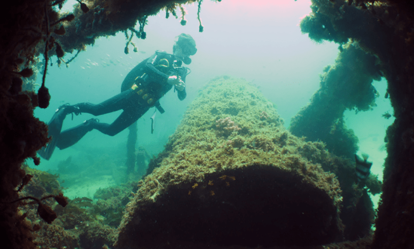
Patrick diving on a shipwreck off Fremantle
I was lucky enough to start working on Murjuga in 2017 when I took part in a UWA RTIO rock art field school. More than a million Aboriginal rock engravings reveal a story of human adaptation to sea level rise over many millennia. It is one of the densest rock art provinces in the world, so once we had our eyes in after a few days of recording, we could all see art almost everywhere we looked. Over this last summer, I worked with Jo and the Pawsey Supercomputing Centre as an intern, visualising cultural features on Rosemary Island, one of the larger outer islands of the Archipelago. This gave me a chance to develop my skills in using airbourne LiDAR and drone datasets for archaeology.
